
Precision Drone Data Taking the risk out of inspection.
Transforming aerial imagery into precise maps, interactive digital twins and actionable insights for engineering, construction and infrastructure projects.
Orthomosaics • Digital Twins • Thermal Inspections • GIS Deliverables
Services Designed Around Your Project.
From engineering and construction to infrastructure and emergency response, we deliver accurate aerial data that helps teams inspect, measure, document and make better decisions.
Mapping
High-accuracy orthomosaics, terrain models, digital elevation models and GIS-ready datasets for surveying, planning, construction and infrastructure projects.
Inspections
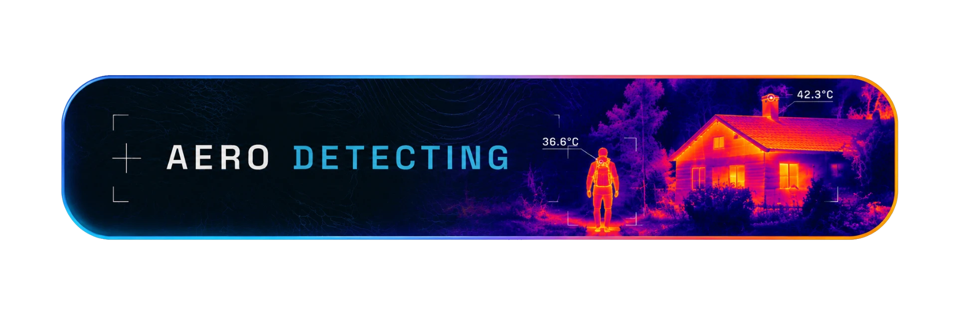
Visual and thermal inspections that reduce risk, minimize downtime and eliminate the need for costly access equipment.
Digital Twins
Interactive 3D Digital Twins that enable remote inspection, documentation and collaboration with centimeter-level accuracy.
Cinematic Video
Professional aerial cinematography for tourism, marketing, commercial productions and promotional campaigns.
Aerial Photography
High-resolution aerial photography for construction progress, tourism, real estate and commercial documentation.
Search & Rescue
Rapid aerial reconnaissance with thermal imaging to support emergency response teams during search and rescue operations.
Built by pilots.
Trusted by professionals.
TheFlyScan is a Bulgaria-based drone operations team specializing in high-precision aerial data. We work with engineers, surveyors, public services and private clients across Europe.
Every mission is planned, flown and processed in-house — from flight authorization to the final deliverable.
Ready for take-off?
Tell us about your project — mapping, inspection or rescue. We'll get back within 24 hours.
Let’s Get Your Project Off the Ground
Have an idea, a challenge or a site that needs a closer look? Tell us what you’re working on and let’s figure out the best way forward.
Partners
We work alongside industry leaders in aerial intelligence and 3D visualization.

Clients
Organizations that rely on our aerial data.